

Serving
Montana
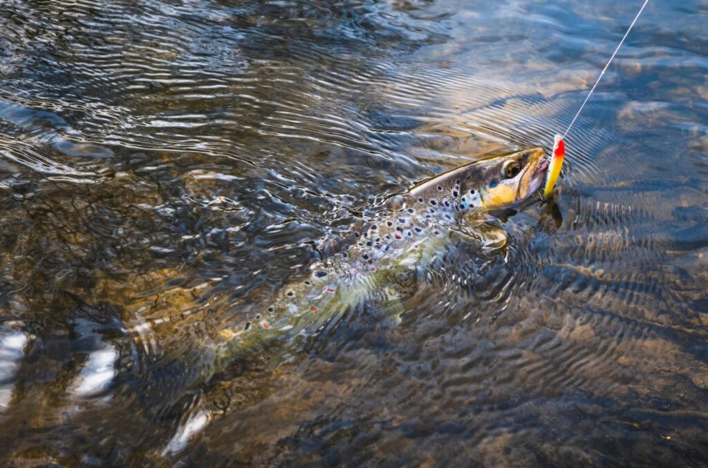
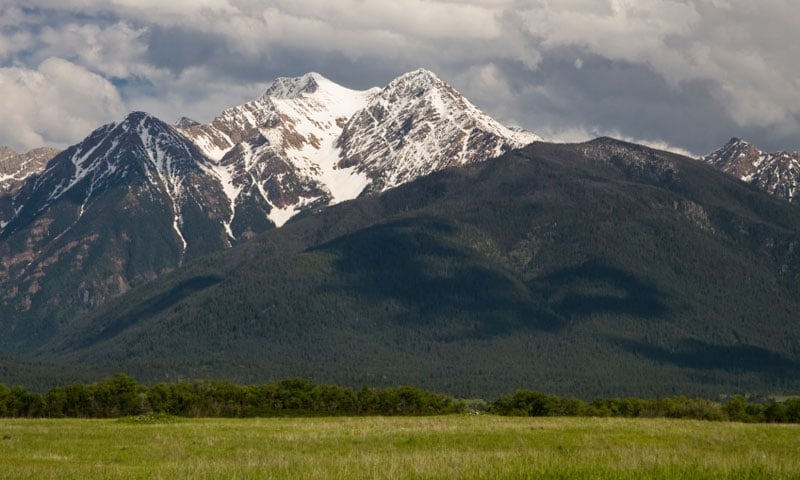
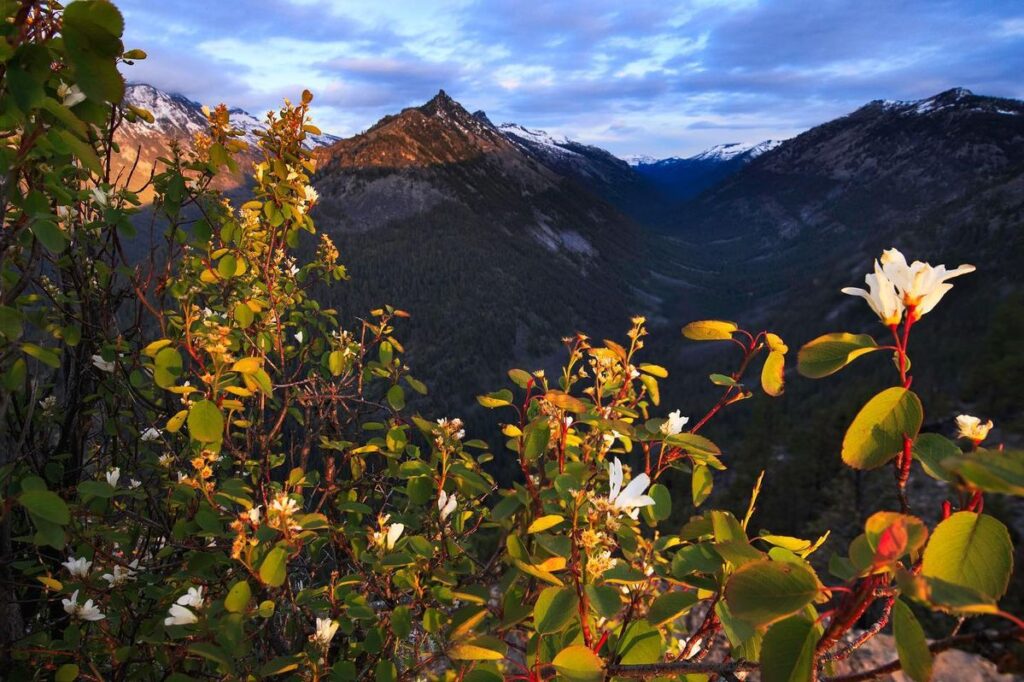
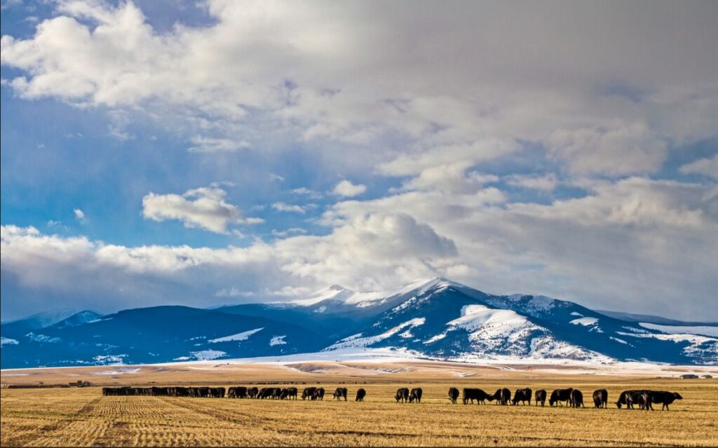
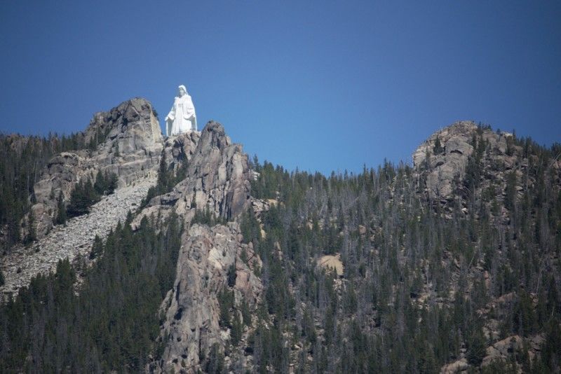
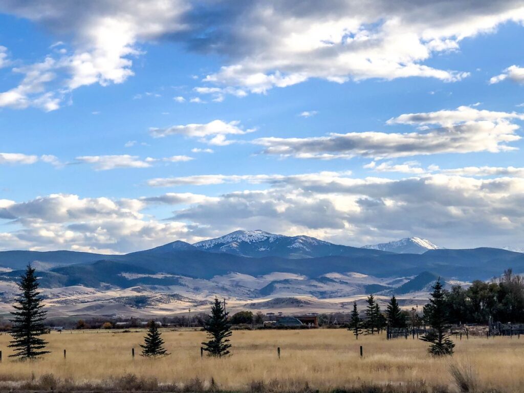
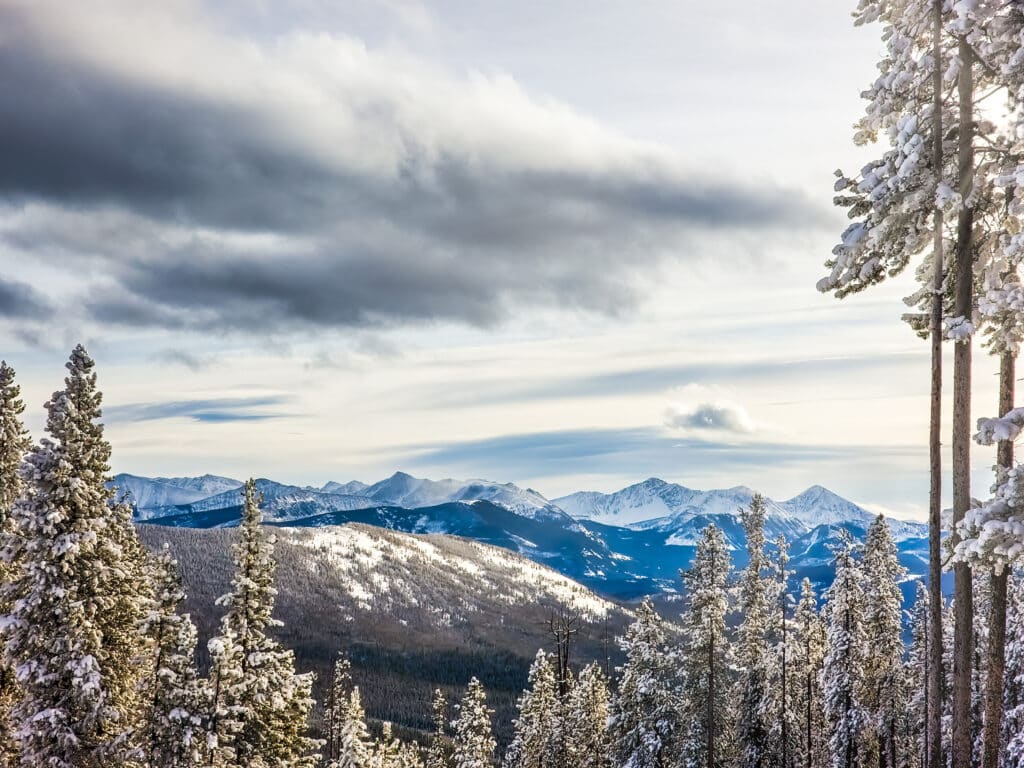
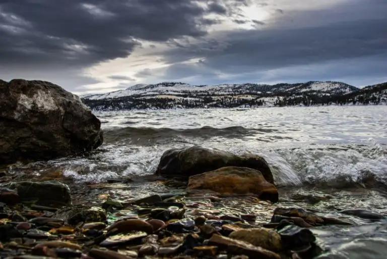
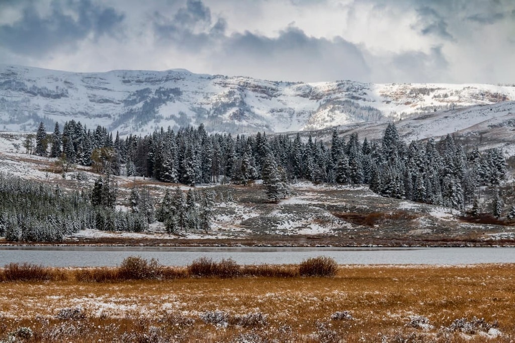
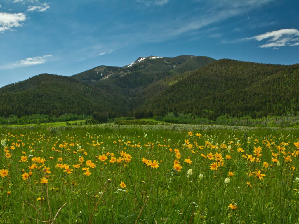
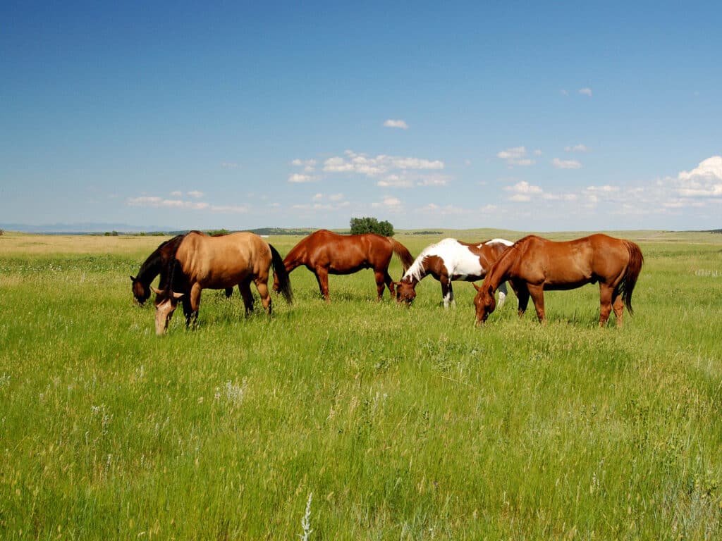
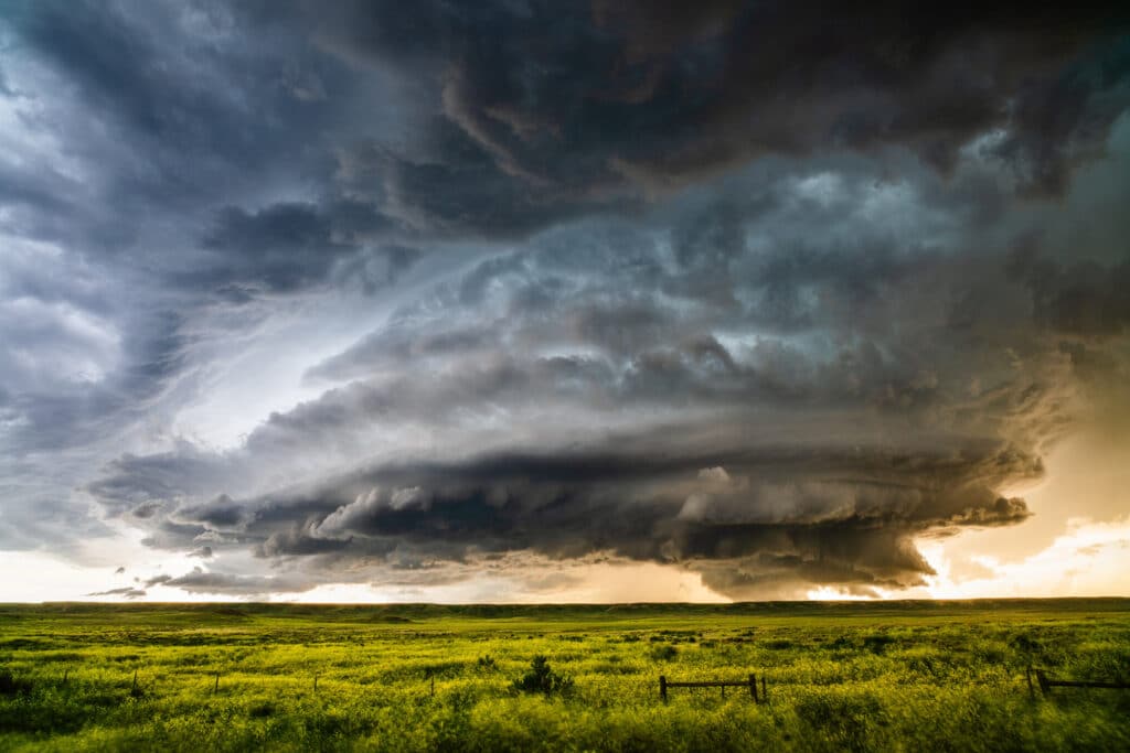
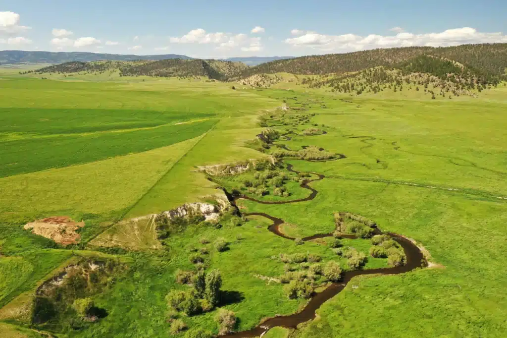
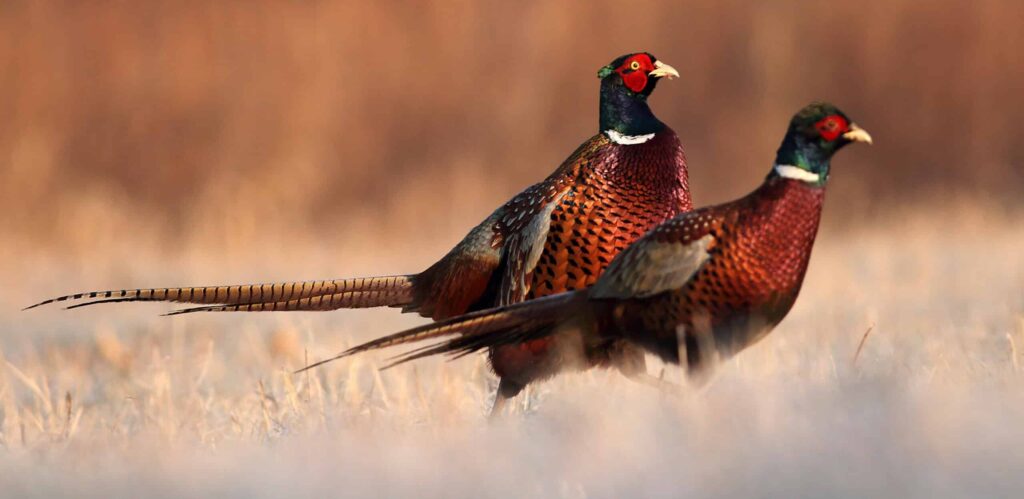
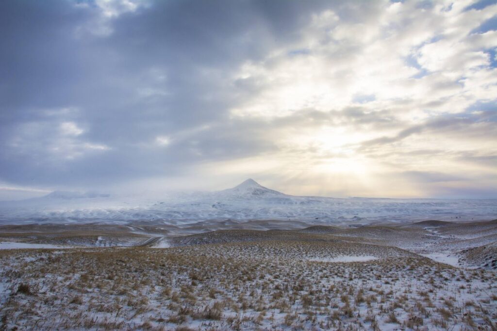
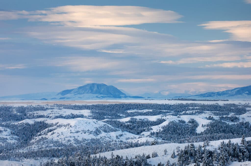
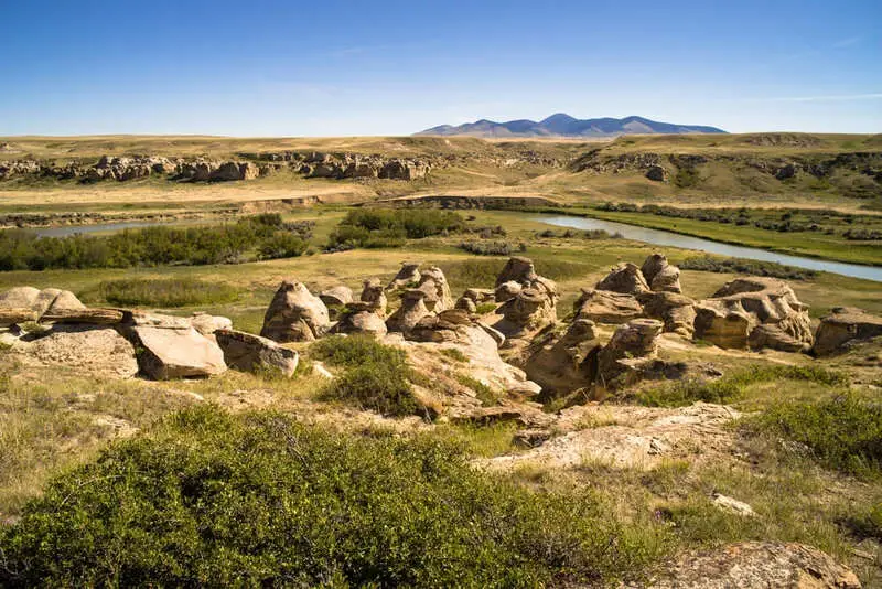
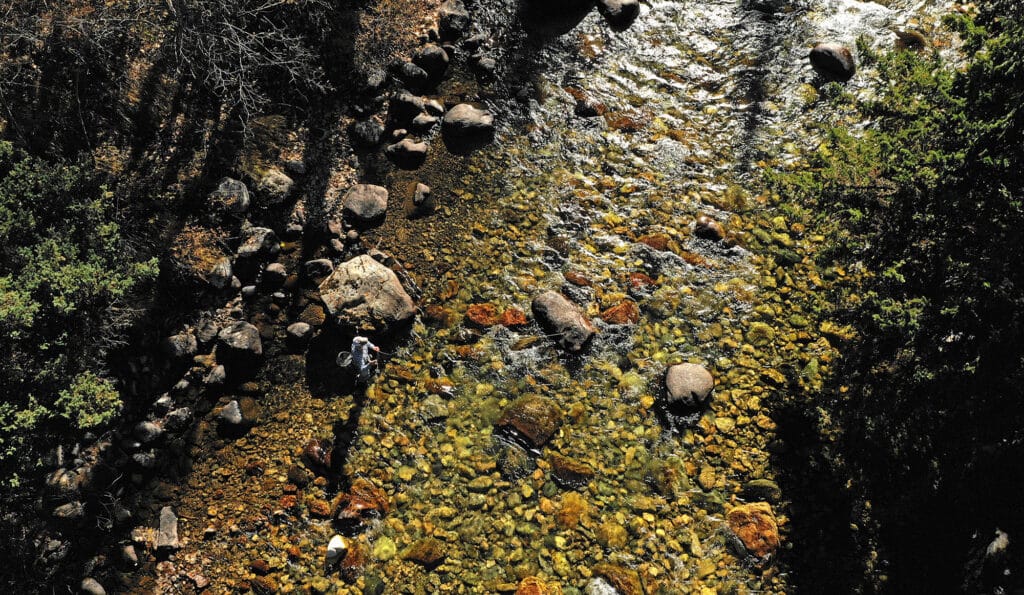
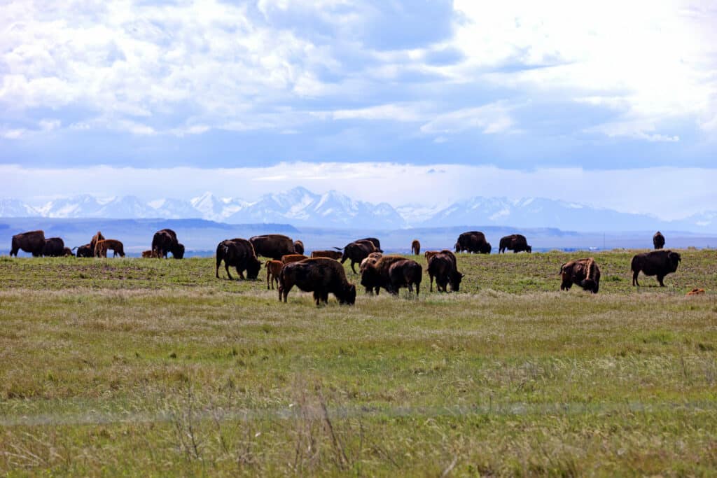
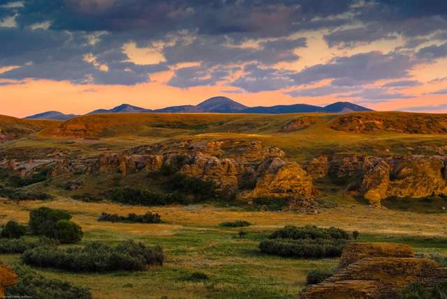
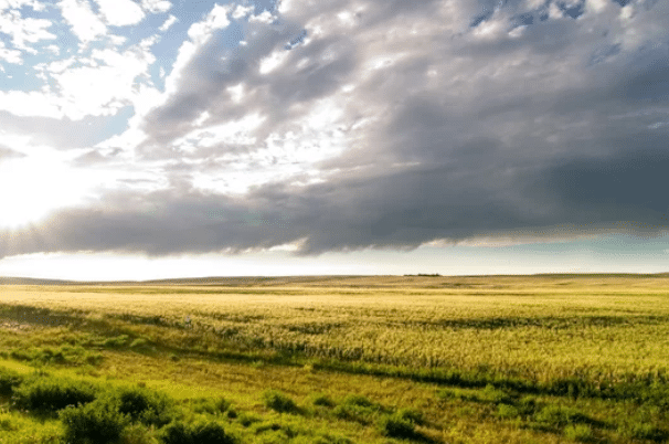
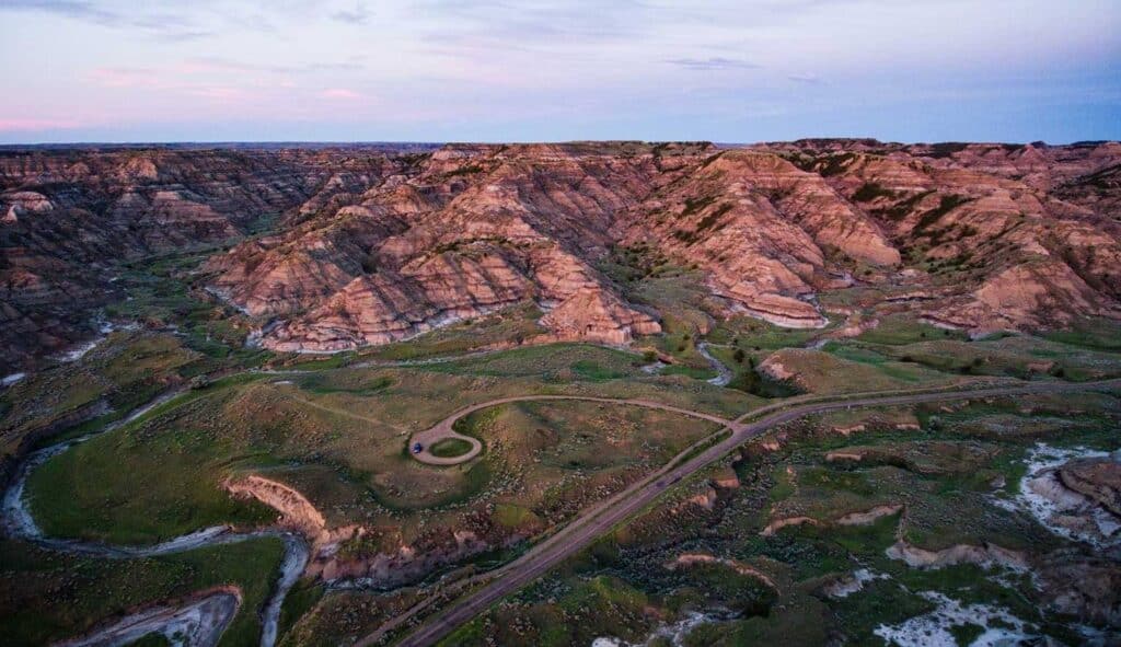
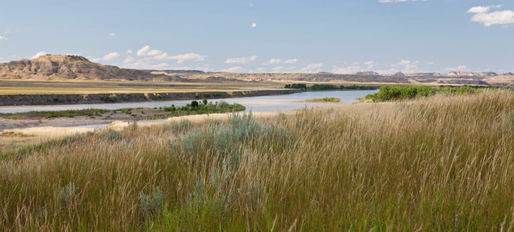
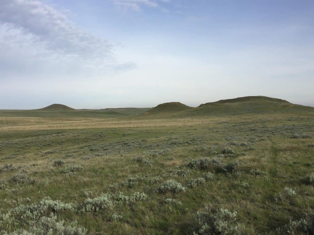
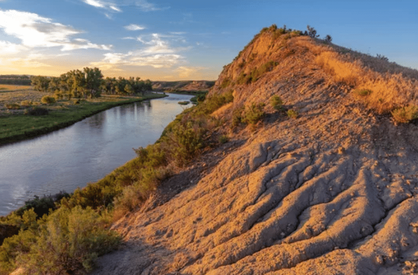
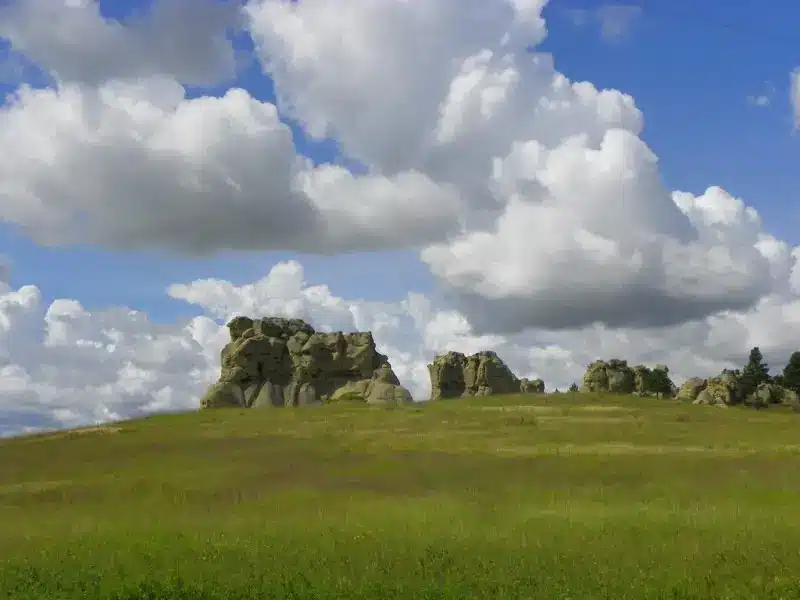
Montana is more than a destination. Affectionately known as The Last Best Place, this state offers a rare convergence of recreation, wilderness, and enduring heritage. From the snow-capped peaks of the Rockies, the Land of Shining Mountains, to the open prairies that inspired the name Big Sky Country. This is a place where elk bugle in the breaks, trout rise in clear-running streams, and families gather around campfires after long days.
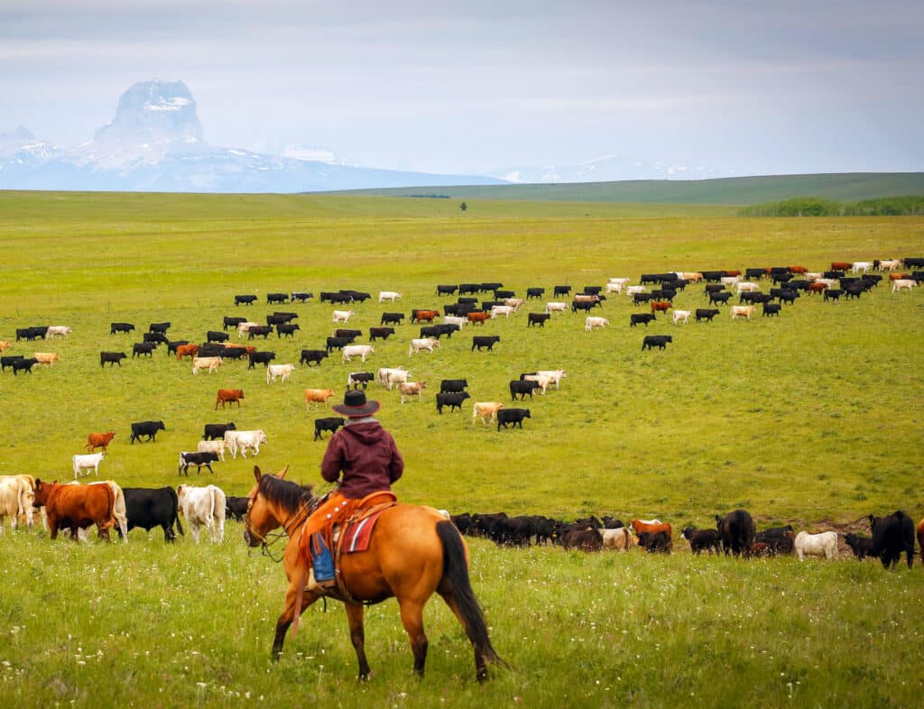
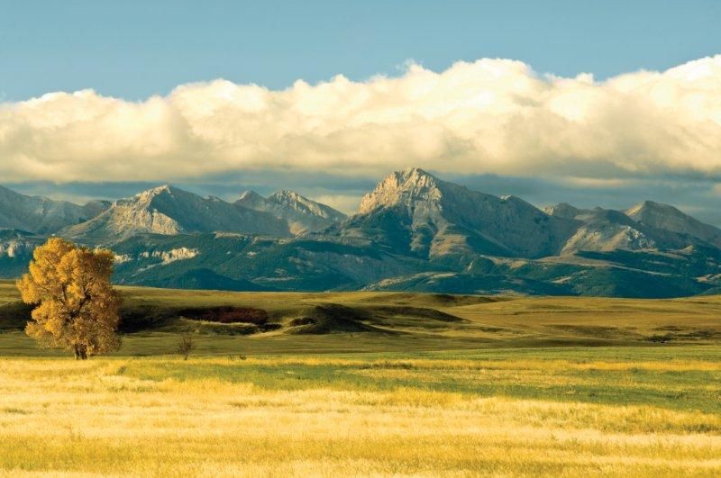
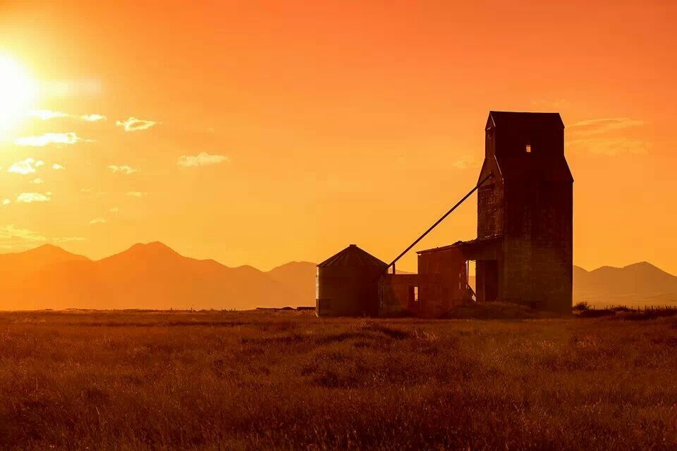
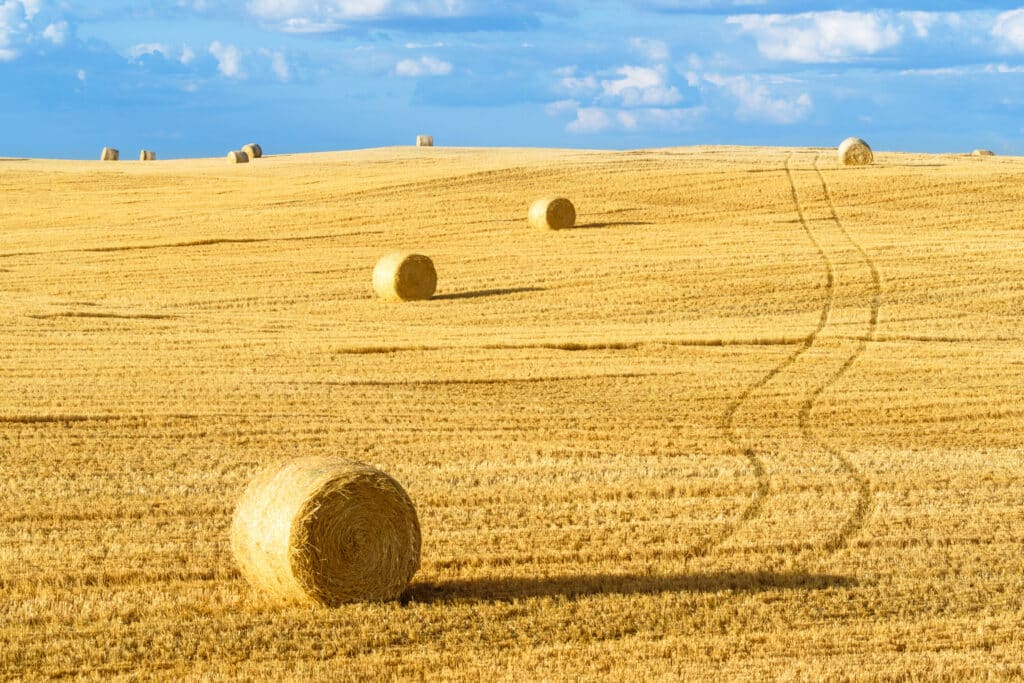
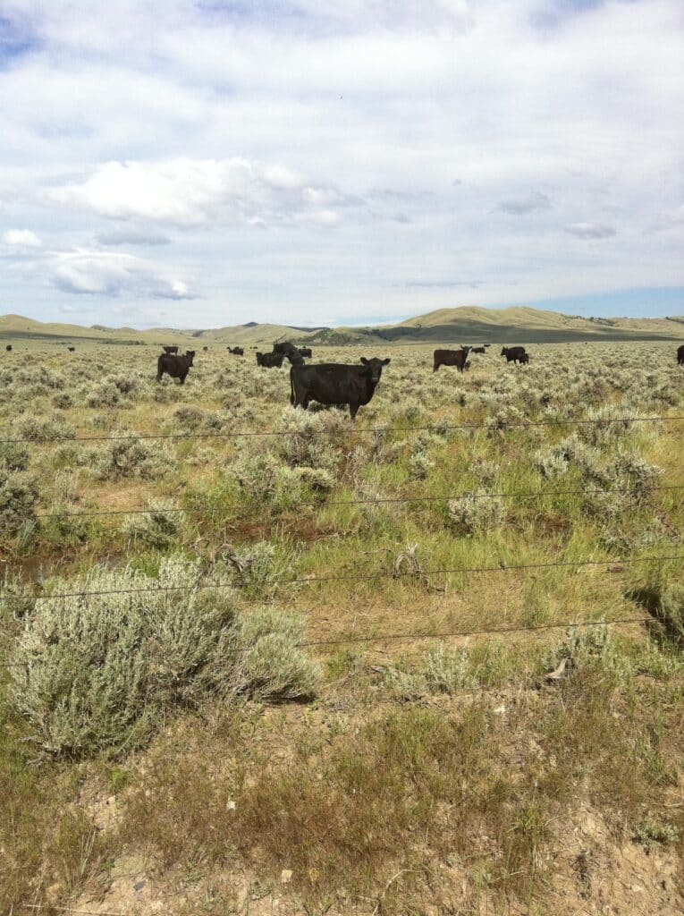
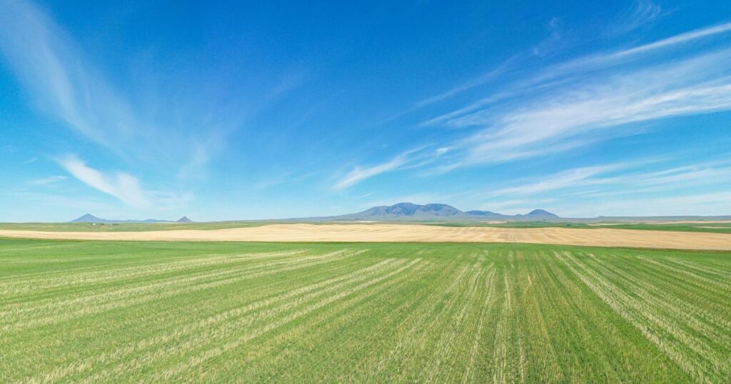
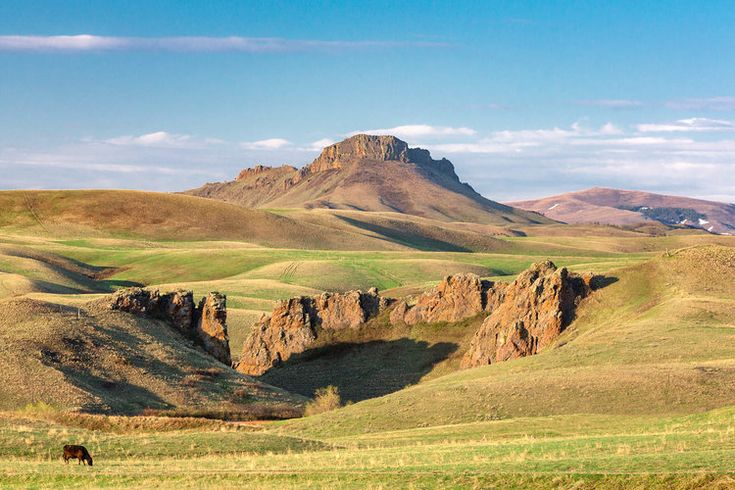
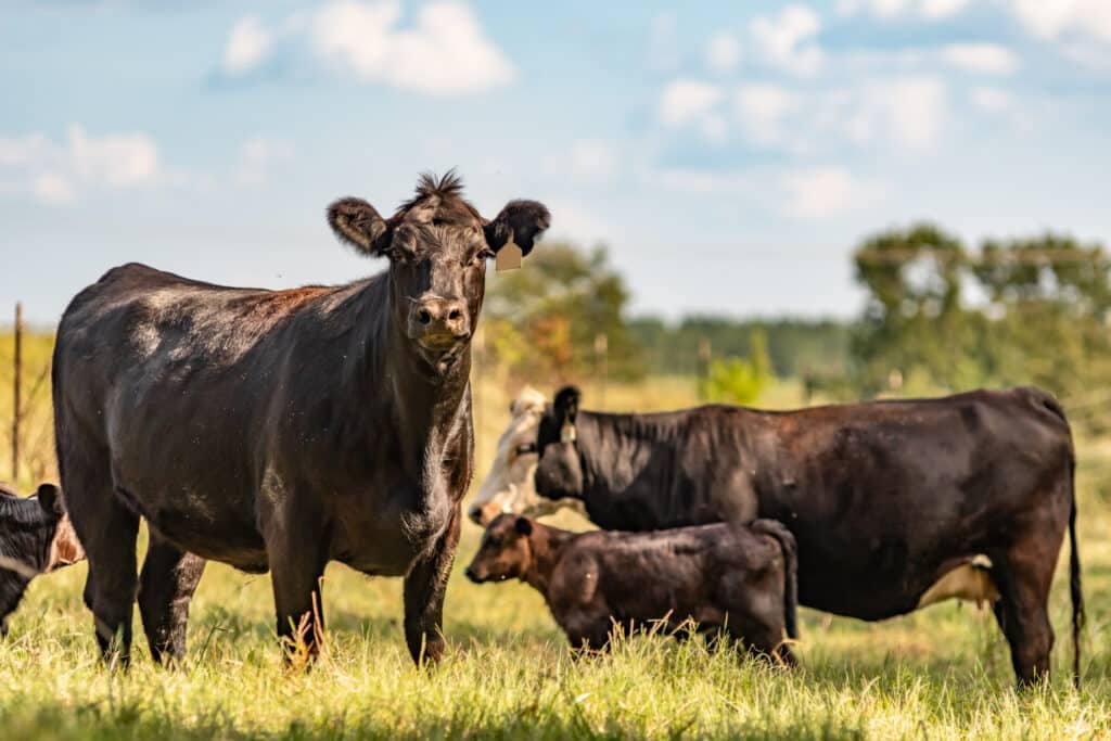
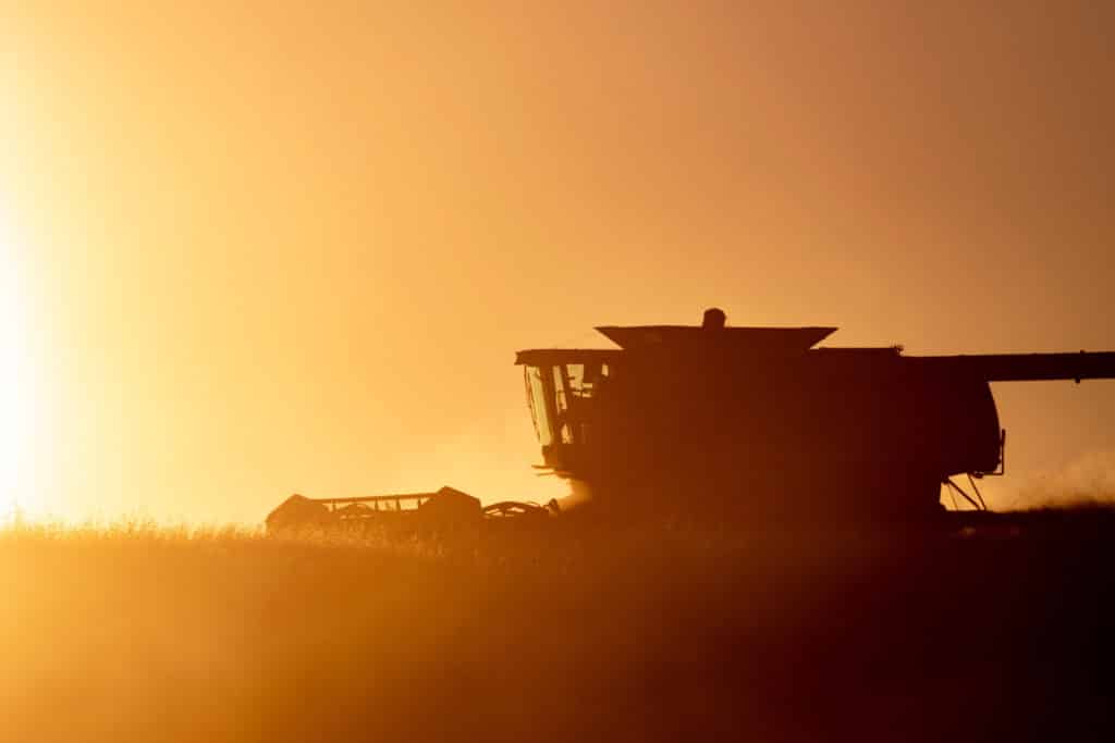
It is also a land of deep agricultural roots, where cattle graze across vast rangelands, hay fields ripple beneath summer winds, and fields of wheat and barley stretch toward the horizon. Generations of ranchers and farmers have built their lives around the land’s rhythms, branding calves in the spring, harvesting in late summer, and weathering long winters with quiet resolve. For those who have spent years living by this land, raising livestock, protecting watersheds, or simply walking pastures that shaped a family’s story, selling is not just a business decision. It is a moment that calls for reflection, responsibility, and care.
Why Choose
Swan Land Company
-
BESPOKE
You work with your agent from start to finish—no handoffs, no switch-outs, no surprises.
-
50%+
Of our Montana sellers are multigenerational landowners entrusting us with family ground.
-
BOUTIQUE
We don’t work in bulk. Every buyer and seller deserves dedicated service and resources.
-
DISCRETE
From managing press to vetting buyers, we protect your privacy as fiercely as we protect your interests.
Explore Montana

Western Montana

Western Montana

Western Montana

Western Montana

Western Montana

Western Montana

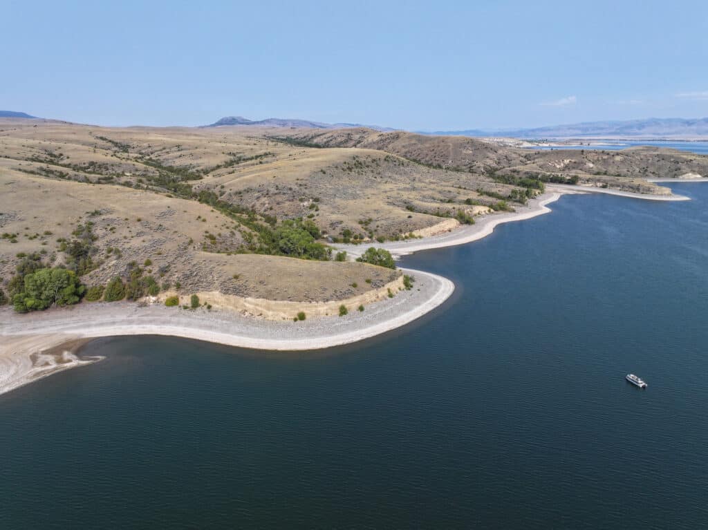
Southwestern Montana

Southwestern Montana

Southwestern Montana

Southwestern Montana

Southwestern Montana

Southwestern Montana


Southwestern Montana


Southwestern Montana

Southwestern Montana


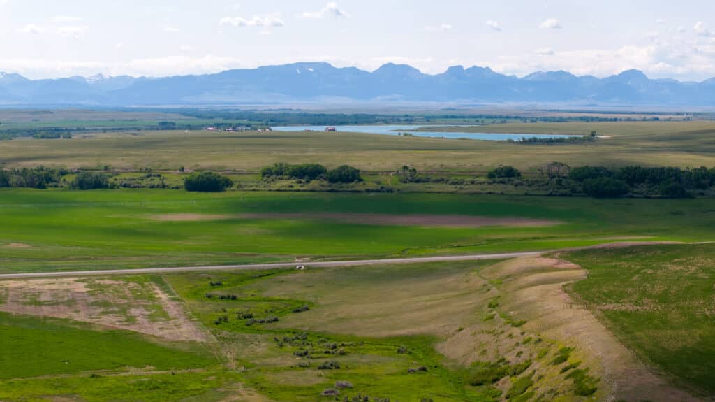
Central Montana


Central Montana

Central Montana


Central Montana

Central Montana

Central Montana

Central Montana

Central Montana

Central Montana

Central Montana

North Central Montana

North Central Montana

North Central Montana

North Central Montana

North Central Montana

South Central Montana

South Central Montana

South Central Montana


South Central Montana


South Central Montana

South Central Montana


North Eastern Montana

North Eastern Montana

North Eastern Montana

North Eastern Montana

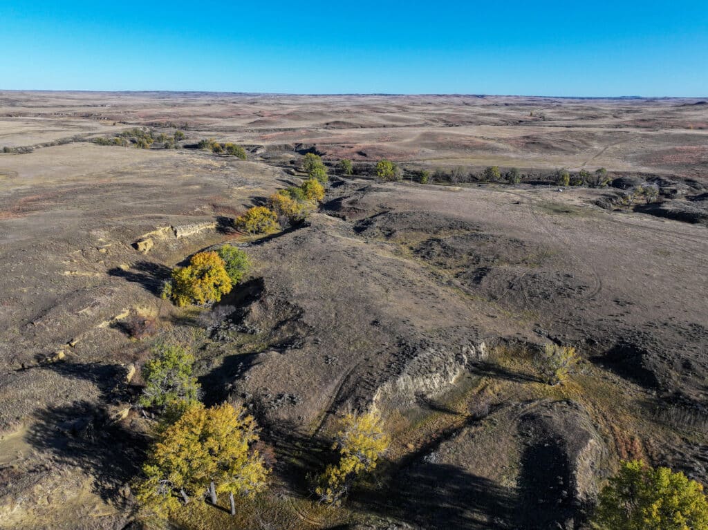
Eastern Montana

Eastern Montana

Eastern Montana

Eastern Montana

Eastern Montana


Eastern Montana


Eastern Montana

Eastern Montana
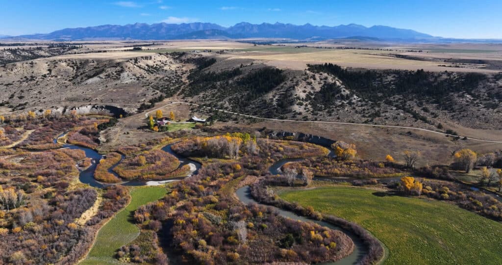
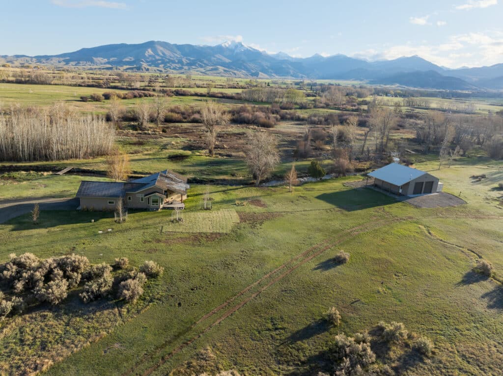
current listings in
Montana

Cinch Buckle Ranch
- 38,322 Total
- $9,150,000
Canyon Ferry Overlook
- 902 Deeded
- $2,300,000
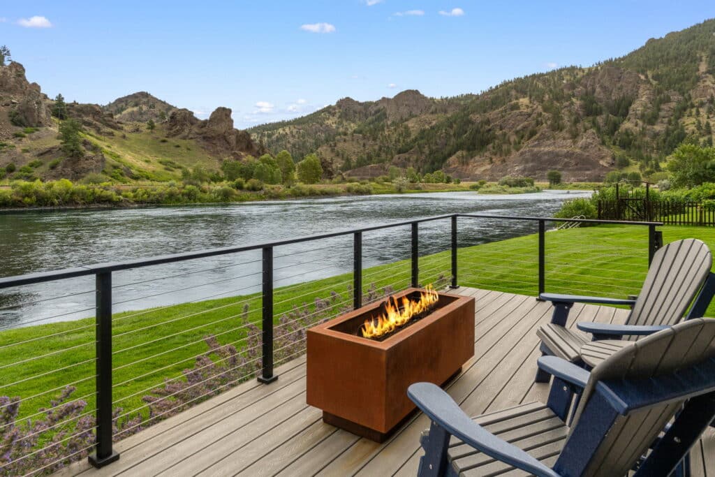
Mighty Mo River House
- 1 Deeded
- $1,149,500
Baker Spring Creek Ranch
- 2,541 Deeded
- $10,400,000
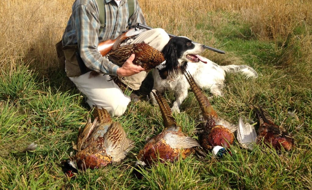
Pheasants On Indian Creek
- 237 Deeded
- $1,200,000

RIVER ROAD RANCH
- 163 Deeded
- $13,750,000

North Fork Of The Smith River 80
- 80 Deeded
- $2,400,000

Top Of The Valley
- 1,138 Deeded
- $1,975,000
30 Wilson Lane
- 20 Deeded
- $1,350,000
Our Montana
Agents

Kendall Van Dyk
- MT
Specialties
- Ranch
- Farm
- Recreational
- Hunting
- Fishing
- Natural Resources
- Conservation Easements
- Habitat Restoration
Learn More
Jack McInerney
- MT
Specialties
- Complex Transactions
- Ranch
- Farm
- Recreational
- Hunting
- Fishing
- Natural Resources
- Investment
- Habitat Restoration
Learn More

Craig A. Janssen
- MT
Specialties
- Complex Transactions
- Agribusiness
- Recreational
- Hunting
- Fishing
Learn More

Scott M. Williams
- MT
- NE
- WY
Specialties
- Complex Transactions
- Ranch
- Farm
- Agribusiness
- Recreational
- Hunting
- Fishing
- Natural Resources
Learn More

Bill Wood
- MT
Specialties
- Ranch
- Agribusiness
- Recreational
- Hunting
- Fishing
- Natural Resources
Learn More

David A. Lowry
- MT
Specialties
- Ranch
- Farm
- Recreational
- Hunting
- Luxury Residential
- Investment
- Resort
Learn More

Tim Anderson
- MT
Specialties
- Ranch
- Farm
- Recreational
- Fishing
- Luxury Residential
- Investment
Learn More

Stephen Leibinger
- MT
Specialties
- Ranch
- Recreational
- Hunting
- Fishing
- Luxury Residential
- Resort
Learn More

Michael S. Swan
- MT
- NE
Specialties
- Complex Transactions
- Ranch
- Farm
- Agribusiness
- Recreational
- Investment
Learn More
